The Noland Trail is a well known park in Newport News, Virginia. I’m lucky enough to live a few minutes from it, and I can usually get out there for a run 4-5 times a week. It’s a truly beautiful place that provides the best of what’s great about living in Newport News, lots of trees and lots of water. I’ve ran out there in the pouring rain, during Nor’easters, snow showers, and tropical winds. Been there on days when the humidity can make your core temperature boil, and days when it’s so cold you think your skin will crack. No matter the weather, it’s a great place to get lost in your head, and bust out a run.
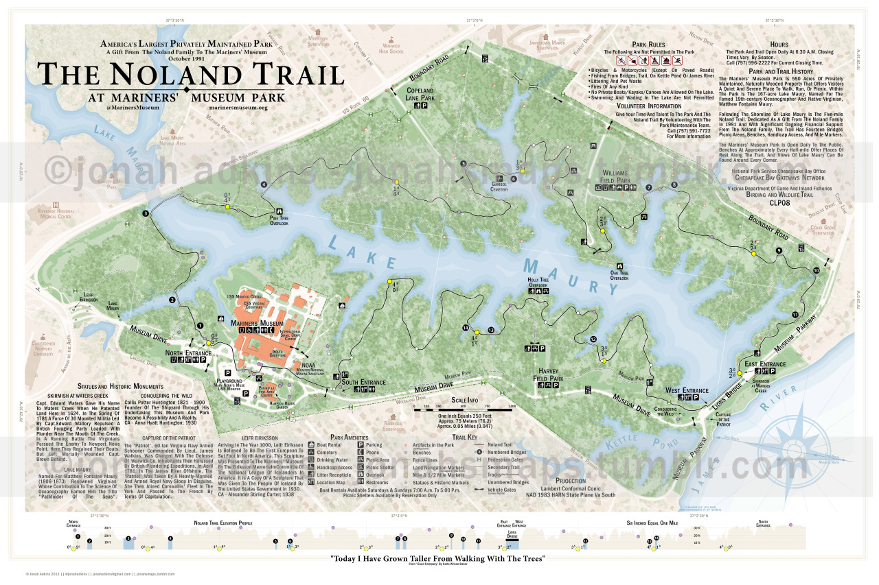
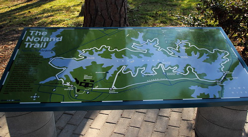
Existing maps of the park like this one (pdf) are of a visual guide, and this older one(pdf)_ has a very inaccurate depiction of the trail, though i suspect it might have been pre-construction of the final trail. There are some map displays at physical locations in the park (notated on the map) which also carry a few inconsistencies.
My goal was to make the most accurate and detailed map of the Trail, and I’m pretty sure I nailed it.
While i did do several walk-throughs with pencil and paper maps, i did use the Fulcrum iPhone app from Spatial Networks_ to capture some of the off trail elements and some of the park amenities.
I completed the Noland Trail map in my free time over a 5 month period, and of course, proud to say it was done completely in ArcMap 10.1.