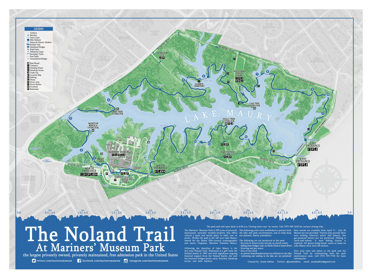
About 2 years ago I created the first edition, unofficial map of the Noland Trail. It was side project of mine to create an all inclusive complete map of the park and trail. I threw a ton of information on the first one, probably too much and it had many ‘GIS-y’ type elements that were lost on the casual map viewer. With this second edition, I wanted to strip away the bulkiness of the original, maintain a high level of detail, and improve the original design.
The second edition uses data I collected and open-sourced, and topographic data from OpenTopography.org .